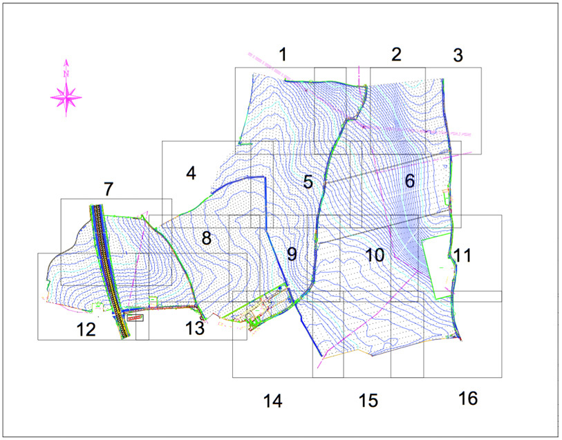
Geomatic Surveys Ltd produce topographical surveys which can form the basis of a flood risk assessment submission for proposed developments in high flood risk areas.
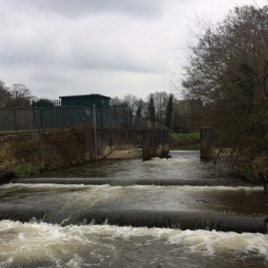
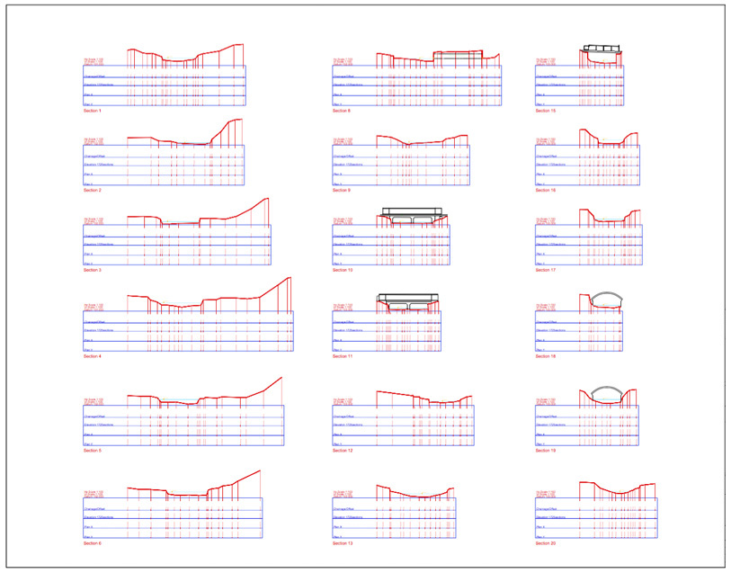
We can undertake cross sectional surveys along any size of watercourse, including all structures/bridges/culverts etc.
Data can be provided in any format which can be imported into modelling software.