Topographical Survey of a former Aerodrome
Geomatic Surveys Ltd have been involved in providing a detailed topographical survey of a 600 Acre/243 Hectare former Aerodrome in Cheshire. The survey was undertaken using a combination of Robotic Total Stations, Integrated Surveying and GNSS (GPS) Receivers. The survey was completed ahead of schedule.
Topographical Survey of a University Campus
Our teams of surveyors undertook a highly detailed 2D and 3D topographical survey of a former university site, which took a total of two months. The site consisted of numerous buildings, a leisure complex and associated facilities, access roads, car parking and recreation grounds. The area covered approximately 64 Acres / 26 hectares.
Flood Risk Survey
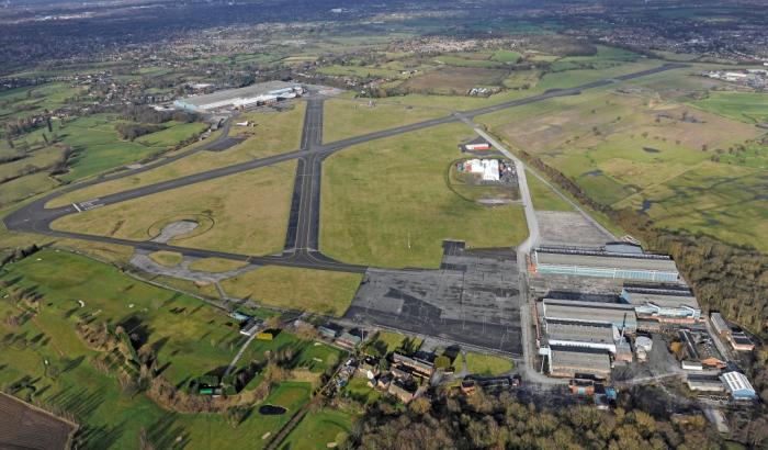
A Client had contacted us regarding a Planning Application which had been rejected on the grounds that the area to be developed was in a high risk flood zone.
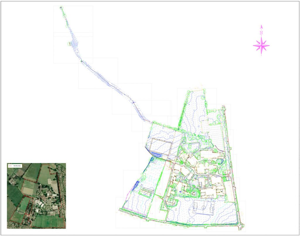
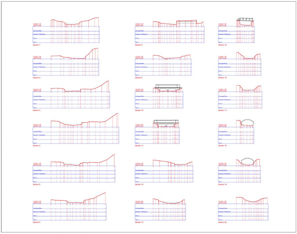
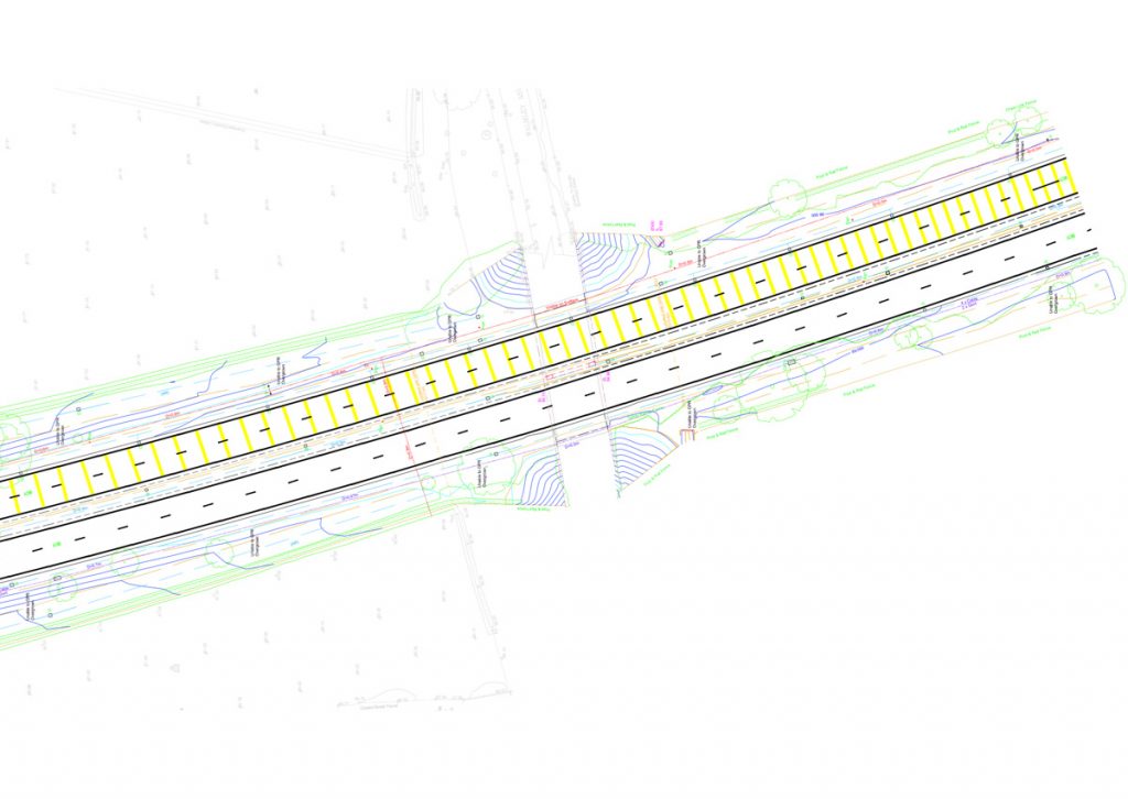
Geomatic Surveys Ltd commenced a full topographical survey, cross section survey of the watercourse and elevations of all obstructions crossing the channel including two road bridges.
A full 3D Digital Terrain Model was produced along with detailed cross sections which were forwarded to The Environment Agency for modelling.
Highways Survey: A38 Dual Carriageway
We undertook a detailed survey of a 600m section of the A38 outside Birmingham on behalf of a Local Authority.
The survey included a full 3D topographical survey, road markings and PAS 128 Compliant services surveys.
As the road is a main route into Birmingham, consideration had to be taken regarding appropriate Traffic Management.
Setting Out of a Solar Farm
Our expertise was again utilised extensively by setting out a Solar Farm covering an area of 200 Acres of farm land in Derbyshire. We had to convert drawings into a useable format, coordinate the required points, for instance access tracks, sub-stations, panel array’s etc and then using a combination of Robotic Total Station and GNSS (GPS) Receivers setout their position on the ground. The project had a very tight deadline of just 6 weeks prior to going live, and we ensured that the client met this deadline.
Full Measured Building Surveys
A large veterinary hospital was surveyed internally and externally while enabling the business to continue without any disruption. A Full Topographical survey, floor plans and elevations were provided for the entire site.
Call us today on T: 01625 521 405 | E: enquiries@geomaticsurveys.co.uk